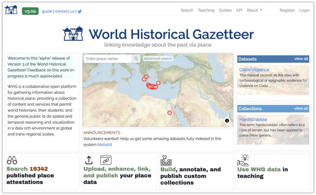
After more than seven years of dedicated work on the World Historical Gazetteer (WHG), Technical Director and Lead Developer Dr. Karl Grossner has announced his retirement from the project team. Karl has been instrumental in all aspects of envisioning, guiding, and building the WHG into groundbreaking digital infrastructure that includes a spatially and temporally referenced index of world historical place names and a linked data ecosystem. Karl has led the development of the platform through three versions, the most recent of which indexes over 3.4 million place names.
Karl’s contributions have gone far beyond technical expertise. He has taken a leading role in setting the vision for the project, building a collaborative and robust community of scholars who work with linked open geodata, and soliciting and developing the content that we index. His dedication, expertise, and commitment have been fundamental to the project’s success and evolution. We are grateful that Karl remains committed to the success of the WHG and that he will continue contributing actively to it in his retirement. You can keep up with Karl’s continued work on his X account: @kgeographer. We’ve posted a statement from Karl on the WHG blog here : http://blog.whgazetteer.org/2024/07/26/a/
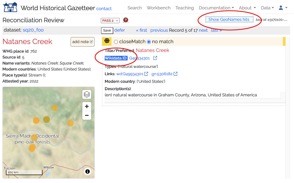
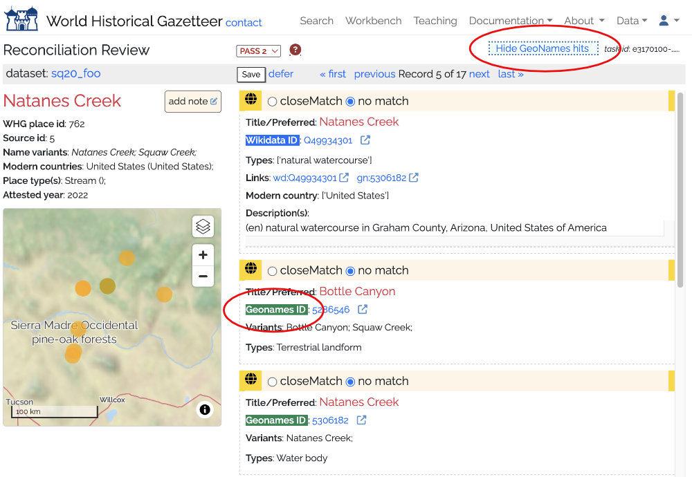
Karl’s accomplishments ensure that the WHG has a bright future. We will continue improving the platform, growing the community, and expanding the index of named places. We are pleased to announce that Dr. Stephen Gadd, a scholar of early modern economic history, has transitioned into the role of lead developer. Stephen has worked closely with Karl over the past year and shares a passion for the WHG and the linked open data community. In the coming months, Stephen and the project team will continue enhancing and extending the platform’s features including the API and the reconciliation process, accessioning historical place datasets, and building our community.
We hope that you will stay in touch during this transition and that you will join us in expressing gratitude and esteem to Karl and sharing good wishes for his future. Please use the contact form under About on whgazetter.org to contact the project team.
Ruth Mostern, Principal Investigator and Project Director
Stephen Gadd, Lead Developer
Alexandra Straub, Project Manager