In the upcoming Version 3 beta of World Historical Gazetteer (early June 2024), we have added about 10 million GeoNames place records to the 3.6 million Wikidata records in the index we have been using for reconciliation. This means that for geocoding purposes (one of the main reasons for using the WHG reconciliation service) the will be a higher likelihood of finding prospective matches for your records.
It also adds some complexity to the review of hits (see the screen below) and we are looking for feedback on how this will work. During the beta phase we can refine or even discard this feature – up to our users!
So…how it will work:
- When you create a new reconciliation task you have the option to exclude GeoNames records; if you do, they will be skipped in the search for matches
- If you don’t exclude them, hits from GeoNames will be returned along with those from Wikidata, but…
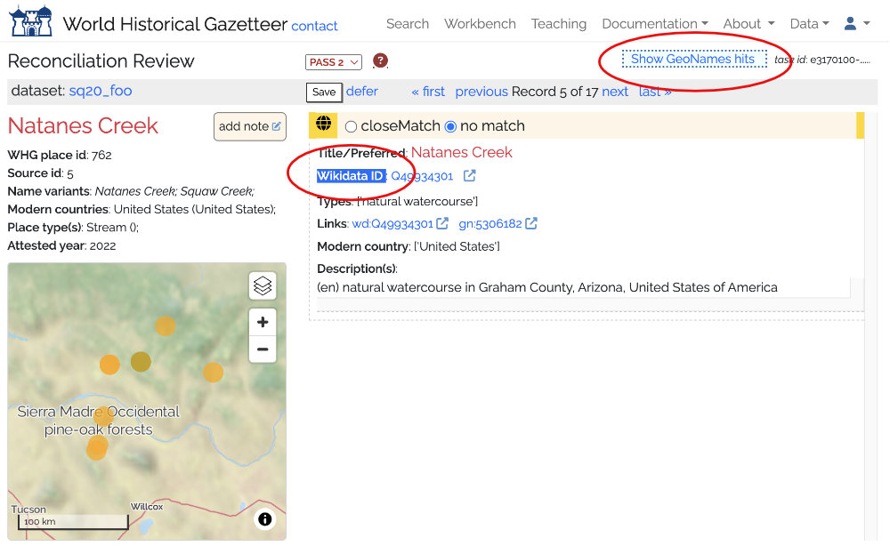
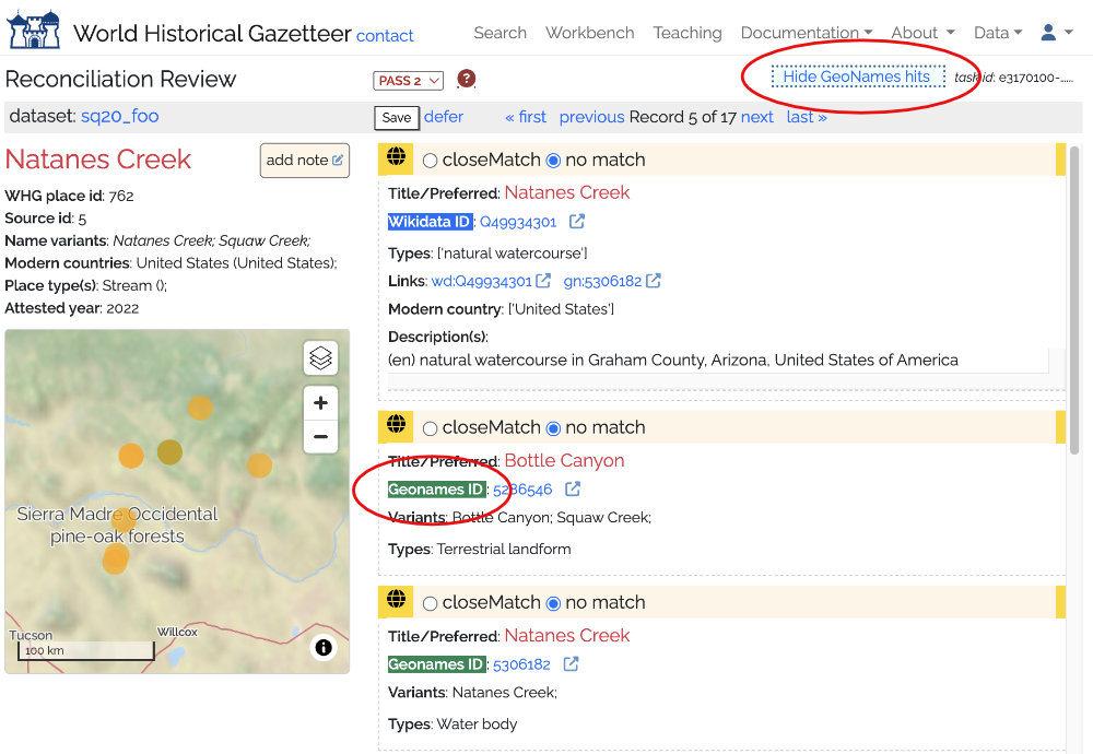
- If there were were both Wikidata and GeoNames hits, the GeoNames ones would be hidden initially, but displayed on click of a toggle button
- If there were no Wikidata hits but there were GeoNames hits, those would display right away.
- As usual, you can select zero or more of these hits as close matches, press Save and move on to the next.
Below you can see the before and after choosing to display GeoNames hits.